Public Lands Institute
Monday, 14 September 2026
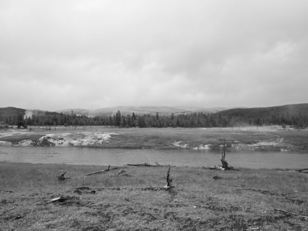
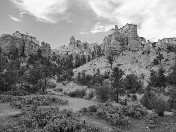
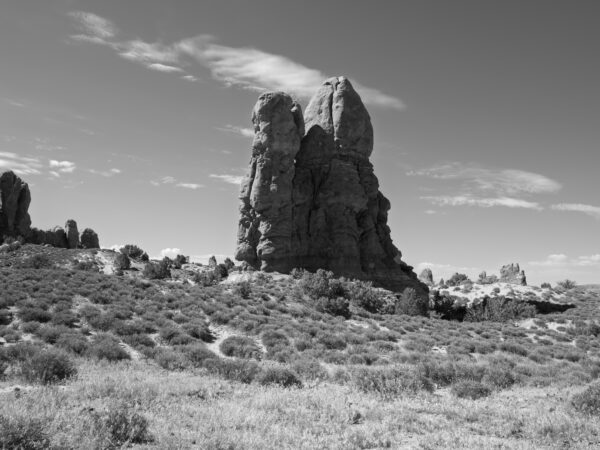
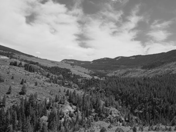
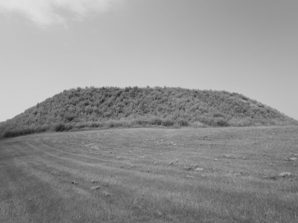
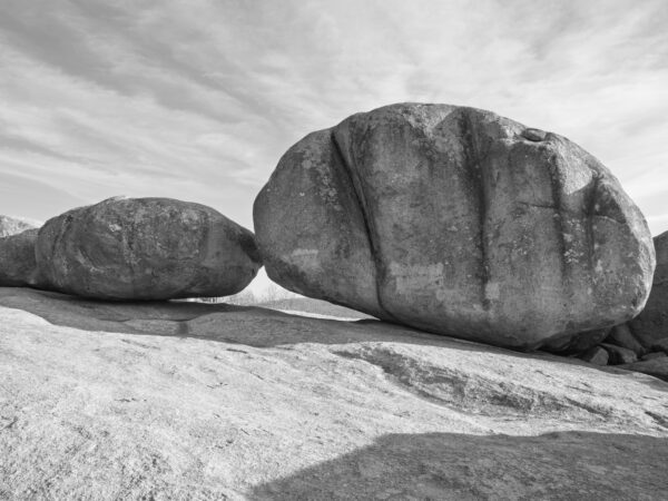
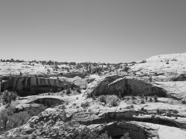
Work from their archive.
“The Public Lands Institute is an ongoing photographic index of American public lands, made by one person, in black and white, with no planned endpoint. It currently holds 91 sites in 20 states and 746 photographs, gathered under nearly forty managing agencies: national parks, national forests, wildlife refuges, state parks, county reservoirs, nature preserves, game areas. Yellowstone and a state park in eastern Iowa are entered on the same footing and photographed the same way. The pictures are indexical and anti-spectacular, made in whatever light the day offers, with no waiting for weather or hour and no interest in the view the parking lot was built to face.
Underneath each site sits a written record: geological formation, Indigenous territorial history and cession record, biodiversity observed on the ground, the mechanism by which the land became public, and a shadow history of what the interpretive signage leaves out. Research comes only from primary sources, including EPA cleanup databases, Park Service administrative histories, National Archives records, Chronicling America, court records, and treaty texts. Travel writing and agency press releases are not used. Where a site has no suppressed history, the record says so plainly and moves on.
Everything is dedicated to the public domain under CC0. Full-resolution TIFFs go to Wikimedia Commons and raw files stay in the project archive, free to download, alter, print, or republish without permission, payment, or attribution. Nothing is for sale, nothing is licensed, and images from the index have already made their way into Wikipedia entries for the places they document.” – Public Lands Institute